Department of Historic ResourcesAn official website of the Commonwealth of Virginia Here's how you knowAn official websiteHere's how you know
Virginia Department of Historic Resources
(dhr.virginia.gov)
For Immediate Release
August 15, 2023
Contact:
Ivy Tan
Department of Historic Resources
Marketing & Communications Manager
ivy.tan@dhr.virginia.gov
804-482-6445
—The easement protects property associated with the Second Battle of Deep Bottom, which occurred in August 1864 and highlights the contributions of the United States Colored Troops in the American Civil War—
RICHMOND – The Department of Historic Resources (DHR) has executed and recorded a perpetual historic preservation easement over property located within the historic core of where the Second Battle of Deep Bottom in the American Civil War (1861-1865) took place. The easement protects more than 2.7 acres of open-space land off Yahley Mill Road in eastern Henrico County. Situated in a rural residential and agricultural area of the county, the property—known as the Perreault Tract—contains a significant historic battlefield landscape.
The Second Battle of Deep Bottom was part of a larger attempt by Union Gen. Ulysses S. Grant to capture the City of Petersburg. In August 1864, Grant called upon Maj. Gen. Winfield S. Hancock to deploy troops to attack Confederate Gen. Robert E. Lee’s fortifications around Richmond. For two days starting on August 13, Union forces crossed the James River at Deep Bottom to engage with Confederate troops in Richmond. Units led by Confederate Maj. Gen. Charles W. Field were already entrenched in a defensive line around the Perreault Tract property and west of an area called Fussell’s Mill. On August 16, Union troops under Brig. Gen. Alfred H. Terry pushed through the Confederate defenses to deliver a heavy assault. During the attack, Union forces moved across Confederate earthworks and rifle pits located on the Perreault Tract. Union forces under Brig. Gen. Robert S. Foster captured several ravines in front of the main Confederate line, but they were unable to take down the line itself. Confederate forces temporarily retreated before surging back across land on the Perreault Tract to restore their line. Several days of inconclusive skirmishing followed the engagement on August 16 and Union troops returned to Deep Bottom on August 20.
The Second Battle of Deep Bottom is historically significant for its association with the contributions of the United States Colored Troops (USCT) during the Civil War. After the U.S. government authorized African Americans to enlist in the military in 1862, units of the 29th Regiment Connecticut Colored Infantry and the 7th and 9th USCT infantry regiments engaged in battles north of the James River and at Deep Bottom from August 13 through August 20, 1864. The presence of the USCT at Deep Bottom and Fussell’s Mill represents their importance not only to these battles, but also to the ultimate victory of the Union Army at the end of the Civil War.
The easement over the Perreault Tract, recorded July 27, 2023, was conveyed to the Virginia Board of Historic Resources (VBHR) by the Richmond Battlefields Association (RBA). The land largely consists of forested terrain and is relatively level before draining into an unnamed intermittent stream that forms its eastern boundary. The stream is a tributary of Bailey Creek and feeds into the James River and the Chesapeake Bay. Confederate defensive earthworks, which were built before the First and Second Battles of Deep Bottom as a northward extension of the Confederate position at New Market Heights, lies along the tract’s western boundary.
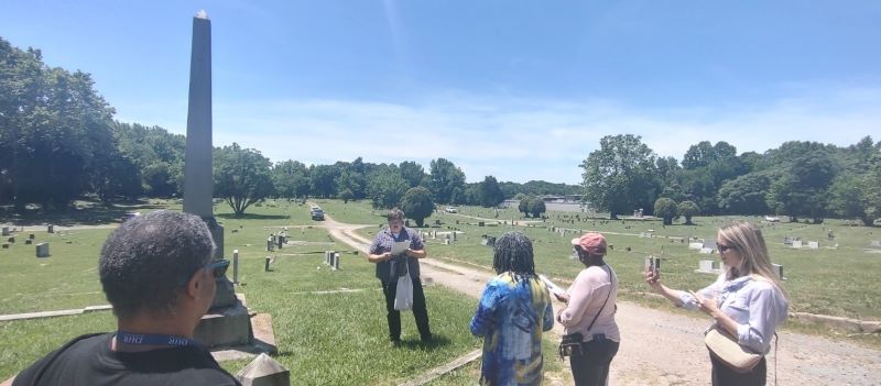
The Perreault Tract is located close to or otherwise adjoins other Civil War battlefield lands owned by RBA. The easement will create a contiguous corridor of perpetually protected historic landscape on the east and west sides of Yahley Mill Road in Henrico County. RBA acquired the Perreault Tract in 2018, in part, with funds from a Virginia Battlefield Preservation Fund grant. Conveyance of a perpetual historic preservation and open-space easement is a requirement of the grant. RBA intends to install trail and signage for interpretation of the property as a Civil War battlefield and provide battlefield tours.
As of 2023, DHR has placed under easement more than 45,000 acres of land. DHR easements are held by the VBHR, and DHR staff monitor the eased lands. The VBHR currently holds easements on approximately 15,900 acres of battlefields in Virginia.

###